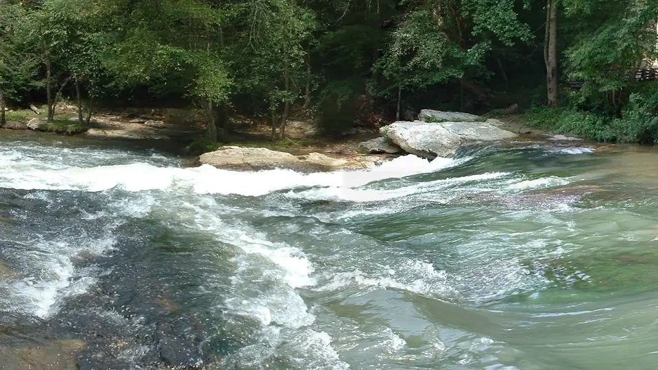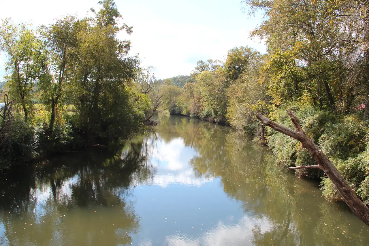
Three rivers share one point in downtown Ellijay, in Gilmer County, Georgia. USGS records the mouths of the Cartecay and Ellijay rivers and the source of the Coosawattee River at the same spot (USGS GNIS). Above that point there are two rivers; below it there is one, with a new name. Most mix-ups, in listings, on maps and in tubing write-ups, come from forgetting which side of that point you are on.
One point, three names
GNIS places the point at about 34.6915 N, 84.4835 W (USGS GNIS). The City of Ellijay describes the town as lying between the Ellijay and Cartecay rivers, where they join to make the Coosawattee. The New Georgia Encyclopedia says Ellijay sits near the headwaters of the Coosawattee, at that confluence (New Georgia Encyclopedia).
The Cartecay comes in from the east. It starts where Tickanetley and Rolston creeks join and runs about 19 miles west along the Highway 52 valley, covered in our piece on where the Cartecay starts and ends. The Ellijay River joins it in town, and the Coosawattee carries on from there.
“Cartecay River” is the official USGS name, settled by an 1897 Board on Geographic Names decision (USGS GNIS). You will sometimes see it misspelled Cartercay, which is the same river.
How big each one is
| River | Drainage area | Where USGS measures it |
|---|---|---|
| Cartecay | 134 sq mi | At the gauge near Ellijay (02379500) |
| Cartecay | 136 sq mi | At its mouth (02379600) |
| Ellijay River | 92.1 sq mi | At Ellijay (02380000) |
| Coosawattee | 236 sq mi | Just below town (02380500) |
The figures are from USGS: 134 at the gauge, 136 at the mouth, and the Ellijay River and Coosawattee sites. The Cartecay is the bigger of the two rivers that meet. By our arithmetic its 136 square miles are about 58 percent of the Coosawattee’s 236 at the gauge below town, and the Ellijay River’s 92.1 are about 39 percent. The two add up to 228.1, a little short of 236, because the Coosawattee gauge also picks up ground that drains in below the confluence.
Three gauges, and only one on the Cartecay
Each river has had a USGS gauge, and they are easy to confuse.
- The Cartecay gauge, 02379500, is live, with daily records from March 17, 1937 (USGS) and a gap from 1977 through 2009. It feeds our water levels card.
- The Ellijay River has no live gauge today. Its site, 02380000, has daily discharge only from 1907 to 1969 (USGS).
- The Coosawattee gauge, 02380500, just below town, measures the combined flow of both rivers, with daily records from October 1938 (USGS).
So if a site shows you a current flow for “the river in Ellijay,” check the gauge number. A reading from 02380500 is the Coosawattee, carrying both rivers at once, and it will read higher than the Cartecay alone.
Which places sit on which river
| Place | River |
|---|---|
| Cartecay River Experience floats (Hwy 52 East and Lower Cartecay Road) | Cartecay |
| Rich Mountain WMA Cartecay Tract launch (Georgia DNR) | Cartecay |
| USGS gauge 02379500 on Highway 52 | Cartecay |
| Harrison Park (City of Ellijay) | Beside the Ellijay River, by map location |
| River Street and the Ellijay River House bed and breakfast | Ellijay River |
| The county’s River Park | Coosawattee |
Harrison Park is a 25.94-acre City of Ellijay park, and by map location it sits beside the Ellijay River, not the Cartecay (City of Ellijay). The county’s River Park, a recreation and picnicking complex, is on the Coosawattee, according to the New Georgia Encyclopedia. The Ellijay River House bed and breakfast on River Street is on the Ellijay River, just upstream of where the two meet. There is no Cartecay River Park on the City of Ellijay’s site, whatever a search result says.
Names can mislead the other way, too. The community named Cartecay lies about 2.5 km south of the river (USGS GNIS). Cartecay Vineyards is on Clear Creek Road; Clear Creek is a Cartecay tributary. Cartecay River Brewing Co. is named for the river and sits in East Ellijay. A “Cartecay” in a business or street name tells you about the area, not about river frontage. For the places on our side of the confluence, see things to do and eat and stay.
Downstream, a different river
Below the confluence the Coosawattee keeps going west to Carters Lake, a separate Corps of Engineers lake and a separate trip. The fishing rules change with it: Georgia’s water-quality rules treat the Coosawattee below the Ga. Hwy. 5 bridge differently from other Gilmer County streams (Georgia EPD rules), and DNR’s stocking reports list the Ellijay River and the Coosawattee as waters separate from the Cartecay (DNR). A trout report for “the river in Ellijay” can be about any of the three, so read the name.
The town between the rivers
Ellijay has been the county seat since 1834, two years after Gilmer County was created (New Georgia Encyclopedia). The New Georgia Encyclopedia calls the confluence the site of a once-large Cherokee trading center (New Georgia Encyclopedia). The City of Ellijay says the origin of the town’s name is uncertain but may come from words meaning “many waters,” “place of green things” or “new ground” (City of Ellijay). The railroad arrived across a bridge over the Cartecay, completed in 1884 (City of Ellijay). Our river map shows the confluence and all three gauges.
Questions people ask
Is the Cartecay River the same as the Ellijay River?
No. They are two rivers that meet in downtown Ellijay. USGS GNIS records the mouths of the Cartecay and the Ellijay River and the source of the Coosawattee at the same point, so below that point both become the Coosawattee.
Source: USGS GNIS, checked Oct 18, 2026
Which river is bigger, the Cartecay or the Ellijay?
The Cartecay. USGS lists 136 square miles of drainage at the Cartecay's mouth and 92.1 square miles for the Ellijay River at Ellijay. The Coosawattee drains 236 square miles just below town.
Source: USGS, checked Oct 18, 2026
Is Harrison Park on the Cartecay River?
No. Harrison Park is a 25.94-acre City of Ellijay park, and by map location it sits beside the Ellijay River, not the Cartecay. The county's River Park is on the Coosawattee.
Source: City of Ellijay, checked Oct 18, 2026
Is there a live gauge on the Ellijay River?
No. USGS site 02380000, Ellijay River at Ellijay, has daily discharge only from 1907 to 1969. The live gauges near town are 02379500 on the Cartecay and 02380500 on the Coosawattee.
Source: USGS, checked Oct 18, 2026
Written by the Cartecay River Guide Editorial Team. AI tools help us draft; people check every fact before it publishes.